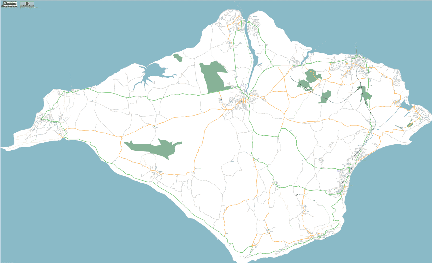
2006 - The Isle of Wight Weekend Mapping Party
The Isle of Wight weekend drew around 40 OSM mappers who mapped an estimated 90% of the island’s roads. No existing data was used. Instead, organizers distributed older, out-of-copyright maps to aid the mappers as they biked, hiked, and walked across the island creating their own, open data GPS traces. You can still read the Guardian’s coverage of the event.