2007 - Yahoo! Aerial Imagery Allowed for Editing
OSM is known for being a map that is made by local eye witnesses, but the ability to use aerial imagery to trace maps expedites mapmaking and is essential to accurately map remote parts of the world.
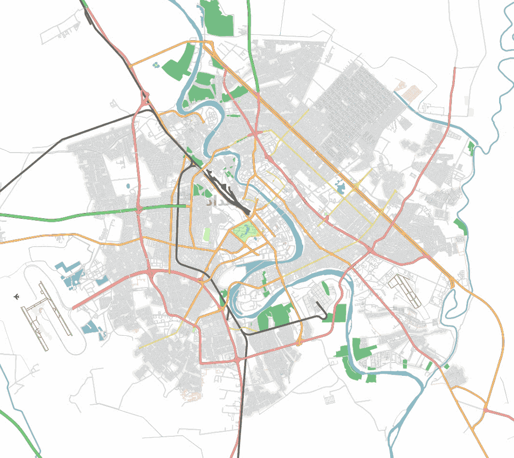
In 2007 Yahoo! gave permission to use its imagery in OSM editors, an arrangement that lasted until 2011. The availability of this imagery made possible a number of projects, including the London Congestion Charging Zone, the road and rail network of Baghdad, Iraq, the greater metropolitan railway network of Sydney, Australia, and the highway between Darwin and Port Augusta, Australia, together with the highway to Ayers Rock and the Olgas.
In November 2010, it was announced that Bing had granted the right to trace from their aerial imagery for the purpose of contributing content to OpenStreetMap. Access to Yahoo! and Bing data accelerated OSM mapping and established a precedent for future OSM/corporate partnerships.