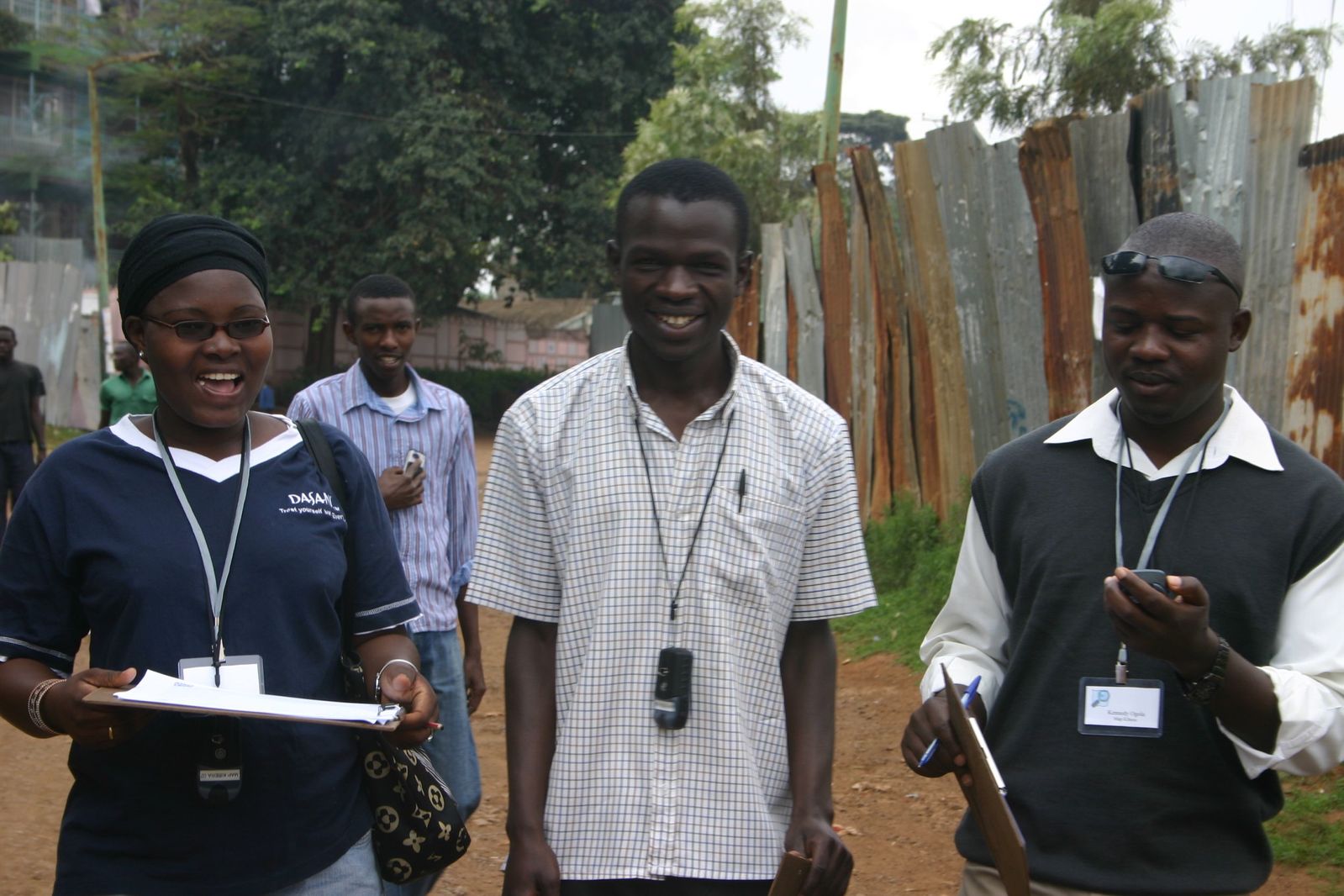
2009 - Map Kibera and OpenStreetMap
The partnership with Map Kibera and OpenStreetMap was one of the first big humanitarian OSM projects. Map Kibera was first conceptualized in October 2009 by Erica Hagen and Mikel Maron of GroundTruth, a global technology and media company specializing in community-based participatory projects. The first free and open map of Kibera was completed in 2009, paving the way for many future mapping projects including election mapping, school mapping, and budget mapping.