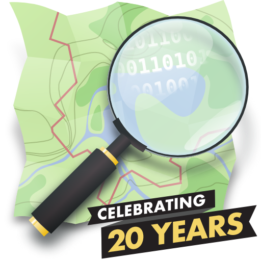
Happy Birthday OpenStreetMap!
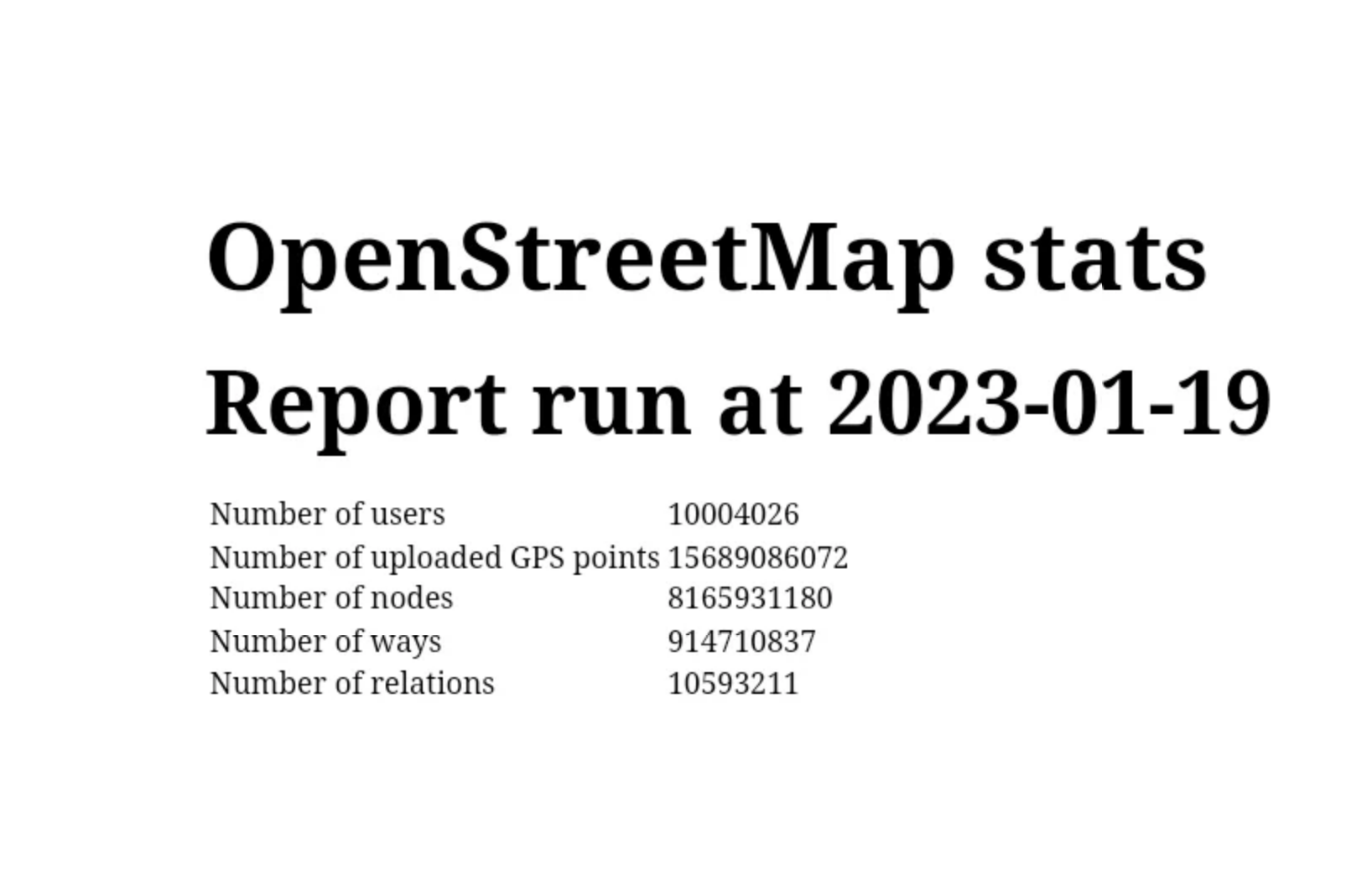
In just twenty years, OpenStreetMap grew from a small UK-based mapping project into the largest crowdsourced and crowd-worked geospatial project of all time. Mapped and managed by tens of thousands of volunteers all over the world, OSM is the leading provider of open source geospatial data, reaching billions of people each year through a universe of applications and products that use its data for free under the Open Database License.
August 9, 2024 is the 20th anniversary of the best map of the world
“The core brilliance of OSM is that free, simple, and open tools can change the world. What will you create in the next 20 years?”
-Steve Coast, founder, OpenStreetMap
Twenty Years of OpenStreetMap
- 2004
- 2004
- 2005
- 2006
- 2006
- 2006
- 2006
- 2006
- 2006
- 2007
- 2007
- 2009
- 2010
- 2012
- 2012
- 2013
- 2014
- 2015
- 2015
- 2017
- 2017
- 2018
- 2018
- 2021
- 2022
- 2023
- 2024
- 2024
-
OpenStreetMap is Born!
Steve Coast took the first step towards revolutionizing the world of mapping by registering the openstreetmap.org domain. This act marked the official birth of OpenStreetMap (OSM), a project that would grow to become a global phenomenon. -
First Street and First Editing Applet
The first street was added into OpenStreetMap, marking a significant milestone in the project's development. -
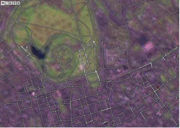
The First Mapping Party, “Map Limehouse”
Map Limehouse was the first of many get-together-and-map events of the type that would become an OpenStreetMap institution: the mapping party. Steve Coast, along with Jo Walsh, and Lottie Child, both of the University of Openness faculties of Cartography, Econometrics and Physical Education led the workshop as part of an open weekend at the historicContinue reading "The First Mapping Party, “Map Limehouse”" -
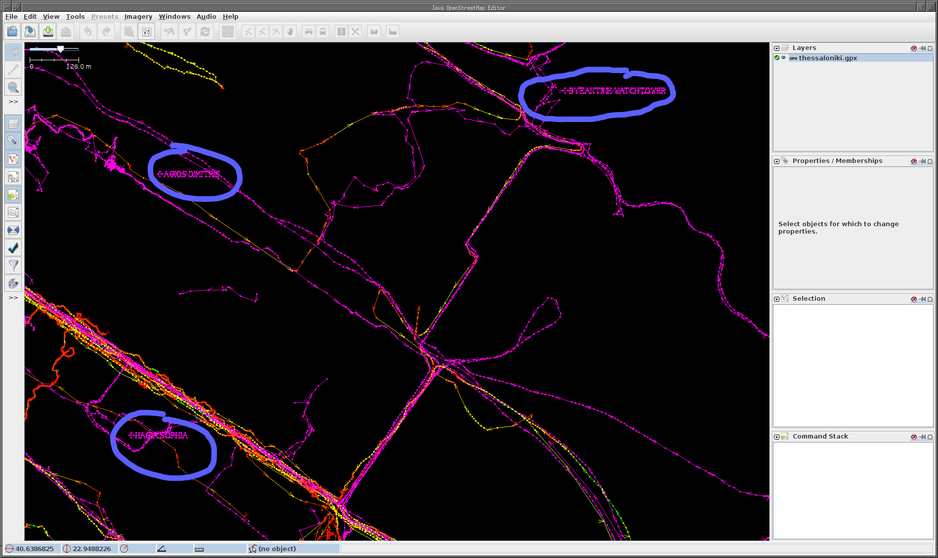
Potlatch, OSM’s First Default Editor
Potlatch 1, originally an Adobe Flash-based map editor, was designed by Richard Fairhurst and released mid 2006. The name Potlatch came from the name of the newsletter of the Letterist International art collective. For many years it was embedded in OSM.org and was influential in the early success of the map because it was soContinue reading "Potlatch, OSM’s First Default Editor" -
Map Features Tag Documentation Added
The genius of OpenStreetMap lies in the simplicity of its model, making it easy for anyone to grasp how it works, and the versatility of its tagging system, which has near-infinite capacity to describe the physical world. The conceptual data model is based on three types of elements: nodes (defining points in space); waysContinue reading "Map Features Tag Documentation Added" -
The Isle of Wight Weekend Mapping Party
The Isle of Wight weekend drew around 40 OSM mappers who mapped an estimated 90% of the island’s roads. No existing data was used. Instead, organizers distributed older, out-of-copyright maps to aid the mappers as they biked, hiked, and walked across the island creating their own, open data GPS traces. You can still read theContinue reading "The Isle of Wight Weekend Mapping Party" -
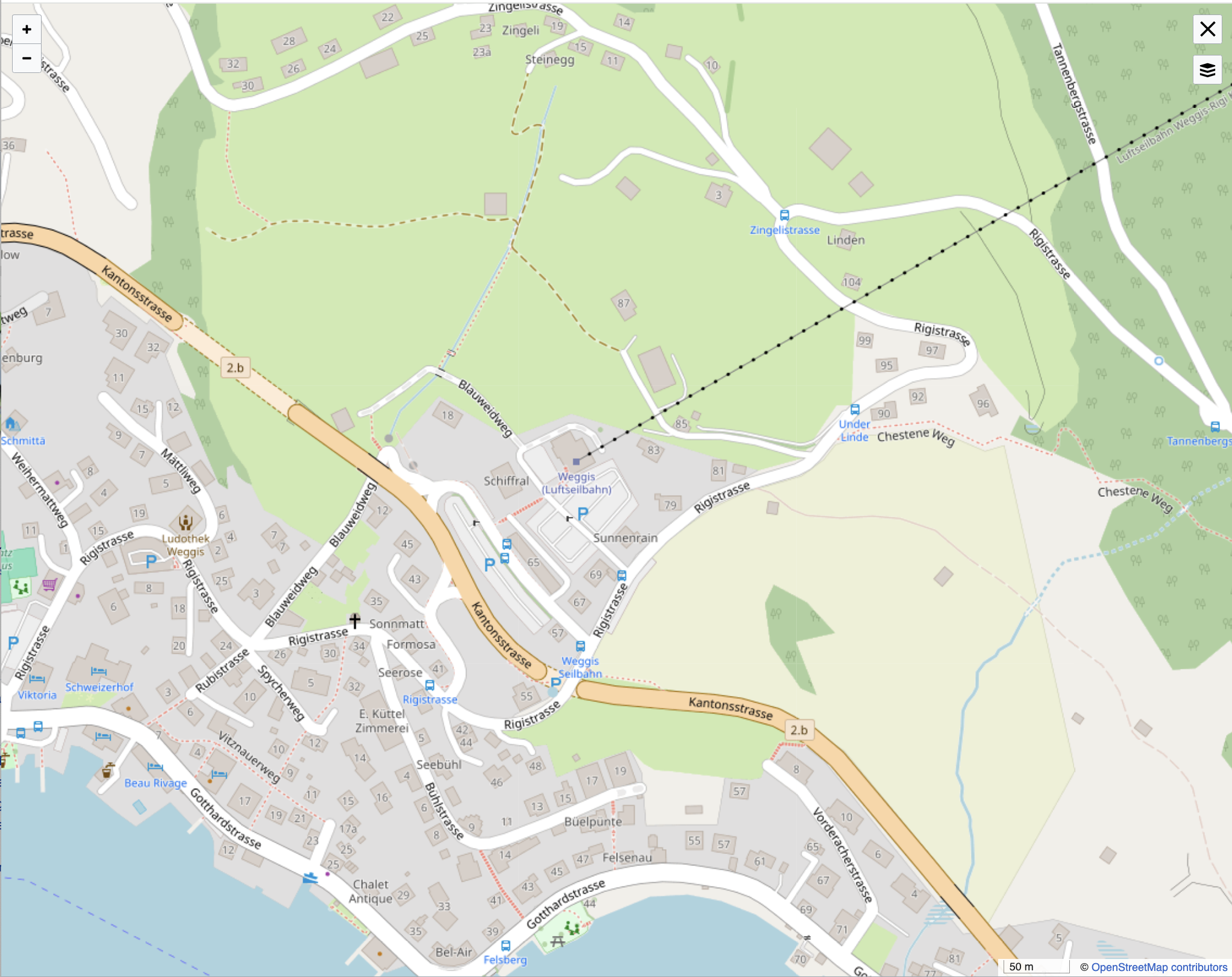
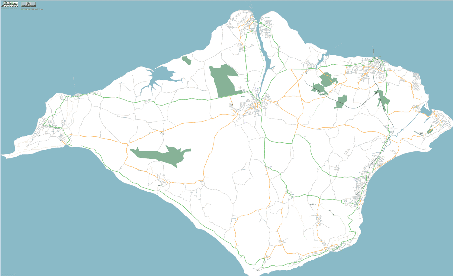
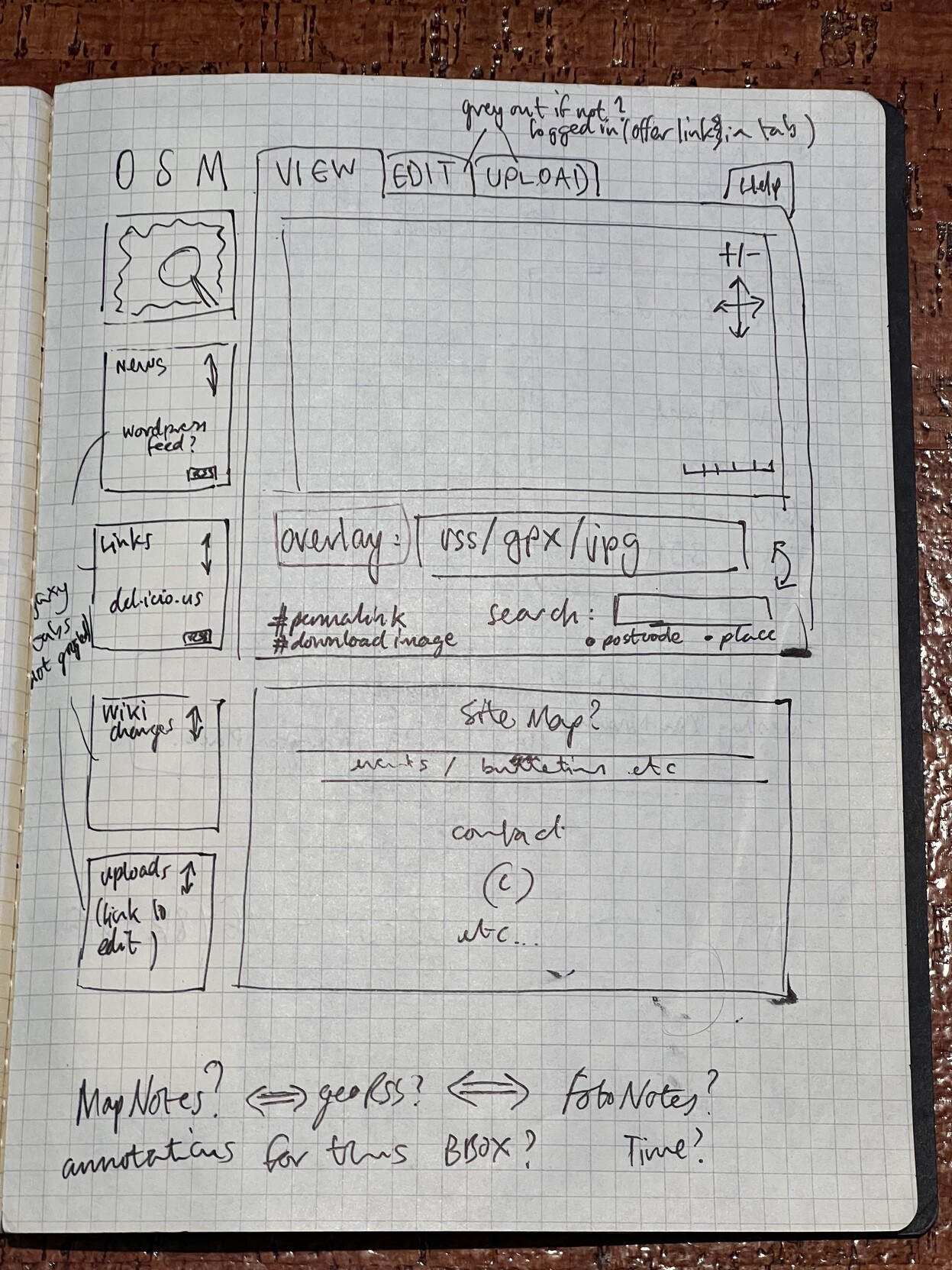
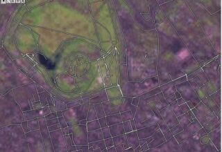
A Slippy Map for OSM.org
Hand drawn by Tom Carden in a London pub with input from Steve Coast and Mikel Maron, much of the layout and components are still in use today. -
OSM Foundation is Registered
The OpenStreetMap Foundation was established to support the growth, development, and distribution of free geospatial data, ensuring OpenStreetMap remains a valuable resource for everyone. -
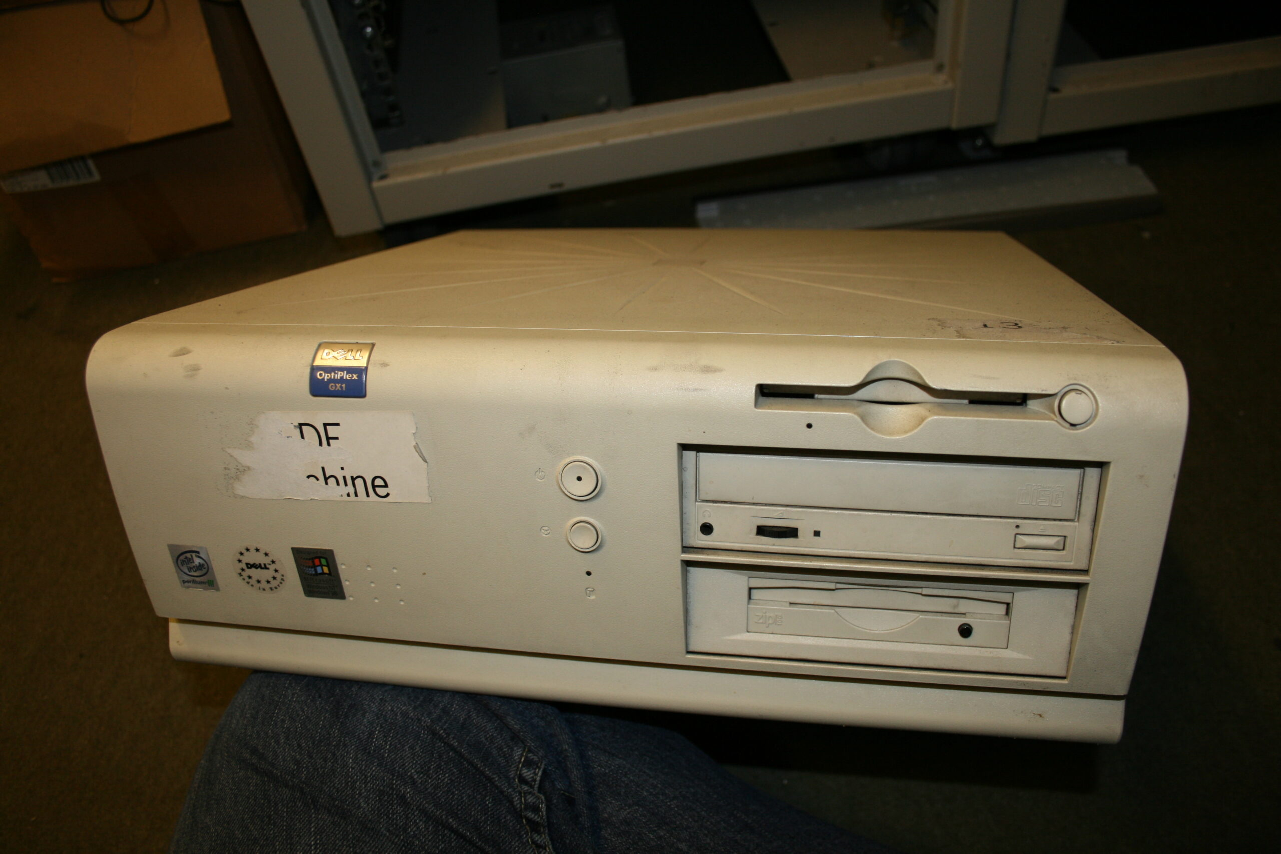
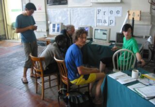
OSM and University College London
University College London (UCL) has kindly been hosting OpenStreetMap since the project started. In the early days, Steve Coast, Matt Amos, Andy Allan, Grant Slater, and many others spent many hours extending and re-organising hardware to keep up with the growth of the project. This photo is of Steve Coast’s desktop computer which doubledContinue reading "OSM and University College London" -
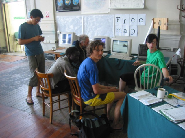
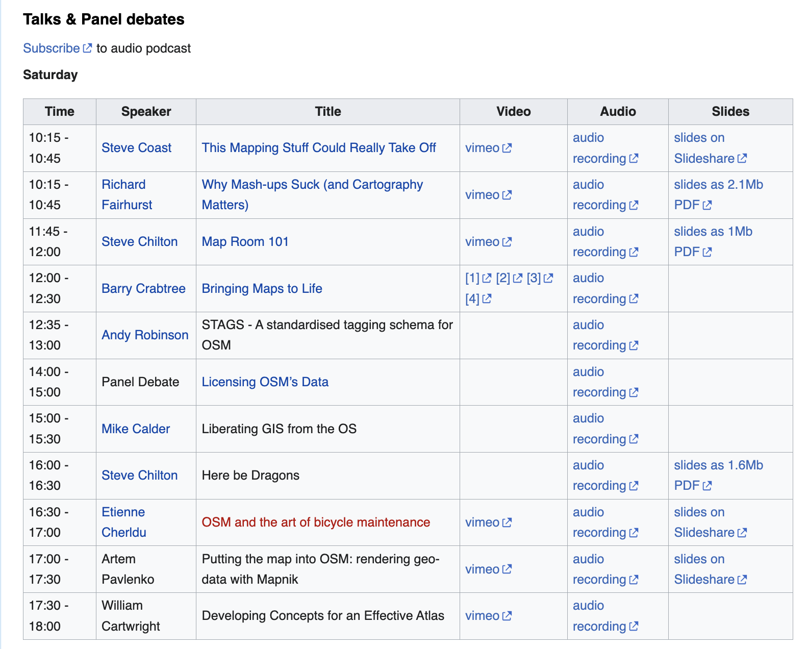
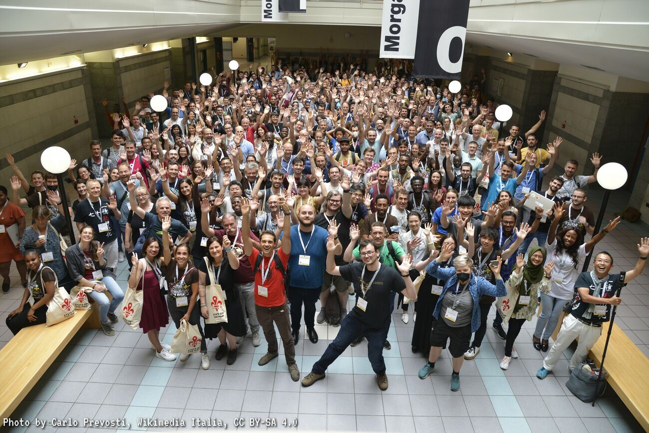
The First State of the Map, Manchester, UK
OSM mappers organize annual State of the Map (SotM) meet-ups as a way to build the community and the map. SotMs come in all sizes and are organized locally, regionally and globally, but the goal is always the same: to get together to talk about mapmaking, GIS research, new tools and software and other communityContinue reading "The First State of the Map, Manchester, UK" -
Yahoo! Aerial Imagery Allowed for Editing
OSM is known for being a map that is made by local eye witnesses, but the ability to use aerial imagery to trace maps expedites mapmaking and is essential to accurately map remote parts of the world. In 2007 Yahoo! gave permission to use its imagery in OSM editors, an arrangement that lasted untilContinue reading "Yahoo! Aerial Imagery Allowed for Editing" -
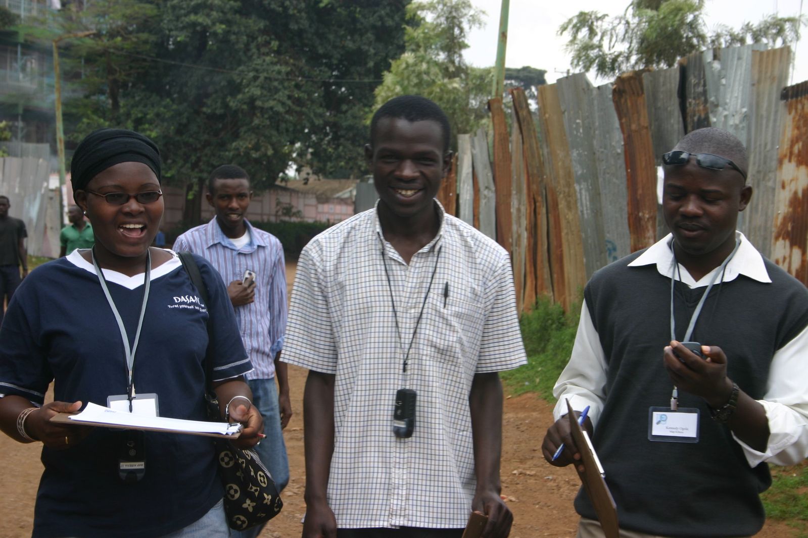
Map Kibera and OpenStreetMap
The partnership with Map Kibera and OpenStreetMap was one of the first big humanitarian OSM projects. Map Kibera was first conceptualized in October 2009 by Erica Hagen and Mikel Maron of GroundTruth, a global technology and media company specializing in community-based participatory projects. The first free and open map of Kibera was completed in 2009,Continue reading "Map Kibera and OpenStreetMap" -
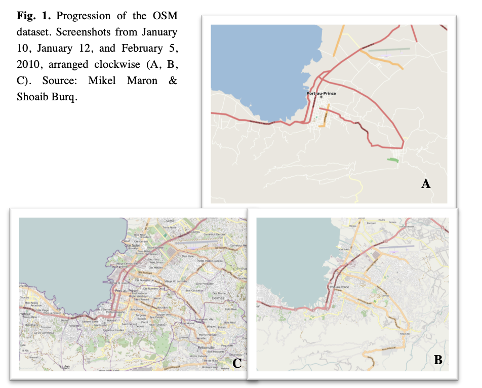
Humanitarian Mapping in Haiti
In January 2010, Haiti experienced a devastating earthquake: one of the worst disasters in recent history. Within 48 hours of the earthquake, the OpenStreetMap community started using high-resolution, post-event satellite imagery to map the area impacted by the earthquake, and it would forever change crisis mapping. Within weeks, over 600 contributors volunteered their timeContinue reading "Humanitarian Mapping in Haiti" -
State of the Map Japan
The State of the Map 2012 was held in Tokyo, Japan from the 6th-8th September 2012. It was the first SotM to be hosted outside of the US and Europe. -
The Open Database License (ODbL)
In 2012, the Open Database License ODbL was chosen as the best option to make sure OSM software and data would remain free and open to all who wish to use it. Today, OSM data is used under the ODbL by most major location services companies and thousands of companies and organizations from manyContinue reading "The Open Database License (ODbL)" -
The Growth of OSM Science
In 2008, Muki Haklay and Patrick Weber published the first research paper about OSM, titled “OpenStreetMap: User-Generated StreetMaps,” helping to ignite a lively and wide-ranging culture of research based on OSM data. By 2013 and continuing to today, many State of the Maps were offering a science track within the regular conference programming, orContinue reading "The Growth of OSM Science" -
Tenth Anniversary of OpenStreetMap
By 2014, the annual celebration of OSM’s birthday on August 9th was a well-established tradition. OSM mappers host mapping parties, mapathons and similar get togethers all over the world–and many parties include an OSM birthday cake. -
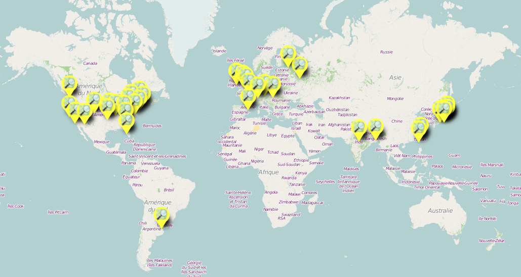
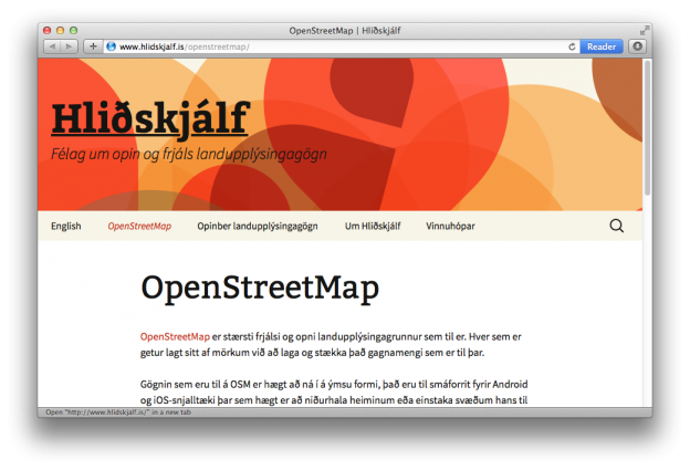
Iceland Becomes the First Recognized Local Chapter of OSM
OSM works because of its vast network of mapping groups, located in almost every country of the world. These diverse organizations come in many sizes and with many different missions. What they have in common is their ability to engage OpenStreetMap contributors within their local language, culture, and customs. The idea of creating aContinue reading "Iceland Becomes the First Recognized Local Chapter of OSM" -
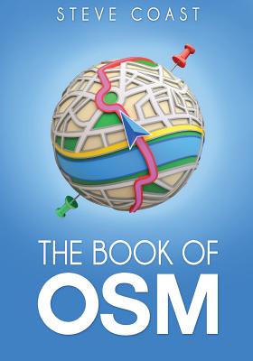
“The Book of OSM”
In 2015, Steve Coast kickstarted this collection of interviews with many of the founding contributors to OpenStreetMap. It contains fifteen interviews with the people who created and launched the project, starting in 2004, including: Andy Allan, Tom Carden, Kate Chapman, Martijn van Exel, Richard Fairhurst, Ben Gimpert, Sean Gorman, Muki Haklay, Henk Hoff, Pavel Machalek,Continue reading "“The Book of OSM”" -
Niantic Uses OpenStreetMap for Pokémon Go
Since Niantic began using OpenStreetMap as the Pokémon Go basemap , many Pokémon Go players have edited OSM in an attempt to improve their gameplay. Many players have made good-faith edits, such as adding buildings and roads that reflect reality on the ground, and the game helped increase the number of OSM editors. OnContinue reading "Niantic Uses OpenStreetMap for Pokémon Go" -
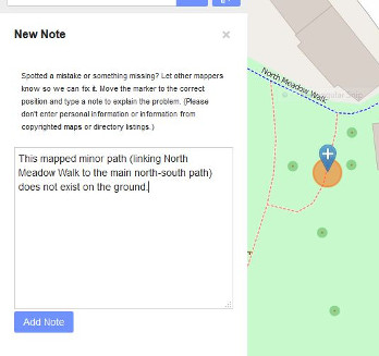
One Million Notes Added to OSM since 2013
The OSM.org Notes feature was released in OSM.org in 2013. It enabled users to add a comment on the map to assist others in mapping/editing OpenStreetMap. Other users can respond to these notes, for example to ask for additional details if necessary. Importantly, Notes enabled users to add information about the map, even if theyContinue reading "One Million Notes Added to OSM since 2013" -
User Moderation in OSM
OSM, like all publicly editable maps, can be vulnerable to vandalism. Because the community is so large and so engaged, most vandalism is identified quickly by OSM editors and is quickly reversed. In 2018, the moderation queue was added to OpenStreetMap making it much easier for users to report spam to moderators and administrators directly–anContinue reading "User Moderation in OSM" -
Ten Years of Participation in the Google Summer of Code
Google Summer of Code (GSoC) is a global program that offers student developers stipends to write code for various open source software projects. OpenStreetMap has participated almost every year for a long time, and did participate again as a mentoring organization in 2018. Through Google Summer of Code, accepted student applicants are paired with a mentorContinue reading "Ten Years of Participation in the Google Summer of Code" -
The Rise of Map Editors like StreetComplete
In 2021, StreetComplete became the 2nd editor by number of users, with 21.9k users, second only to the original OSM editor, iD. StreetComplete was created as an easy-to-use OpenStreetMap editor for Android phones and tablets that can be used for mapping in the field. It’s made specifically for casual contributors and beginners, and noContinue reading "The Rise of Map Editors like StreetComplete" -
The First Full-Time Employee
The OSM project is run by volunteers, who organize their work through OSM’s Working Groups. They edit and expand the map, keep it legally compliant and safe from vandalism, resolve licensing issues, organise conferences, keep hardware and software up to date, and develop new mapping tools. In more recent years, with the addition ofContinue reading "The First Full-Time Employee" -
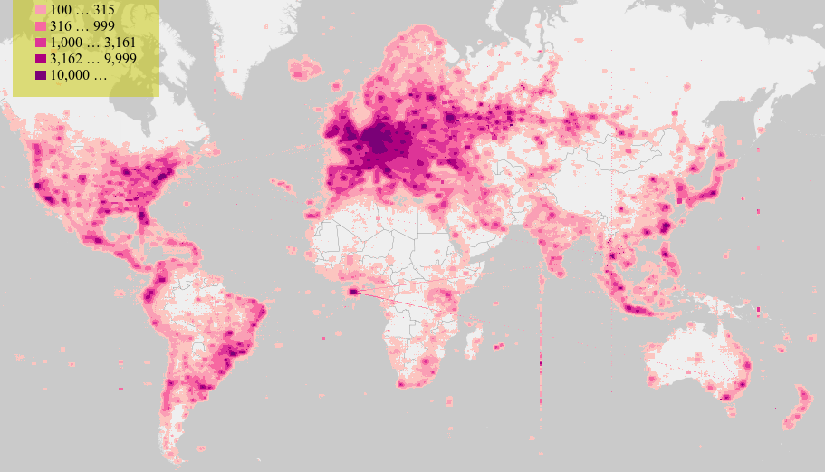
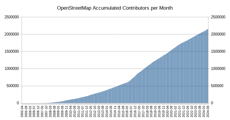
Ten Million Registered Users
In January 2023, OSM reached 10 million users over the life of the project. As user janjko pointed out on r/OpenStreetMap, most of the edits are produced by about .1% of the users. However, as user joostjakob pointed out in the same thread, “while you need the power users to do most of theContinue reading "Ten Million Registered Users" -
The Best Map of the World
OpenStreetMap marks two decades of collaborative mapping, celebrating 20 years of community-driven geospatial innovation. -
Your Turn! Submit a Timeline Idea
Do you have an idea for a timeline milestone or event? Let us know! Send an email to the CWG with the date, a 1-3 sentence summary of the milestone or event, an image, and any links that will help us fill out the story.


-

2004 OpenStreetMap is Born!
Steve Coast took the first step towards revolutionizing the world of mapping by registering the openstreetmap.org domain. This act marked the official birth of OpenStreetMap (OSM), a project that would grow to become a global phenomenon.
-
2004 First Street and First Editing Applet
The first street was added into OpenStreetMap, marking a significant milestone in the project's development.
-
2005 The First Mapping Party, “Map Limehouse”
Map Limehouse was the first of many get-together-and-map events of the type that would become an OpenStreetMap institution: the mapping party. Steve Coast, along with Jo Walsh, and Lottie Child, both of the University of Openness faculties of Cartography, Econometrics and Physical Education led the workshop as part of an open weekend at the historicContinue reading "The First Mapping Party, “Map Limehouse”"
Add or Find an OpenStreetMap Birthday Celebration

The OpenStreetMap Birthday Card
Happy birthday OSM ! I wish you sincerly the best for the next 20 years … and after. Hold on and keep growing !
-Happy birthday OSM! You remain an amazing project and community – here’s to many more years of maps by and for people 🙂
-Best wishes to our OSM!
-Happy birthday to OSM! Here’s to so many more!
-
Happy Birthday, OSM Your map data has been used the world over, from big companies like Apple and Google, to the common people in every village and town. I wish OSM all the best and I hope that you can keep this up!
-quickfixdemon